Heavy Snow and High Winds On The Way for WNY: Travel May Be Impossible
You may have heard about snow and wind in the forecast as we get closer to the weekend here in Western New York, but the scene may be even worse than you expected.
A snow storm is on the way for Western New York as a Winter Storm Watch has been issued for Erie, Genesee and Wyoming counties from 4 p.m. Friday to 1 a.m. Sunday.
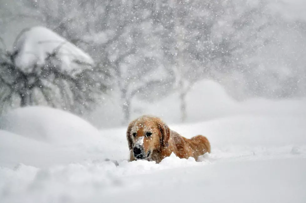
What to expect: a lot of lake effect snow and high winds. Rain should be in the region early Friday but will shift to snow and then the temperatures drop rapidly across area.
After some dry time, a band of lake effect snow will set up across Western New York on Friday evening and into Saturday.
It's not clear who will get the most snow but according to WKBW's snow total map, a safe bet would be anywhere from South Buffalo to the southtowns and east of the city getting hit with a ton of lake effect snow and some areas should see over a foot by Saturday night!
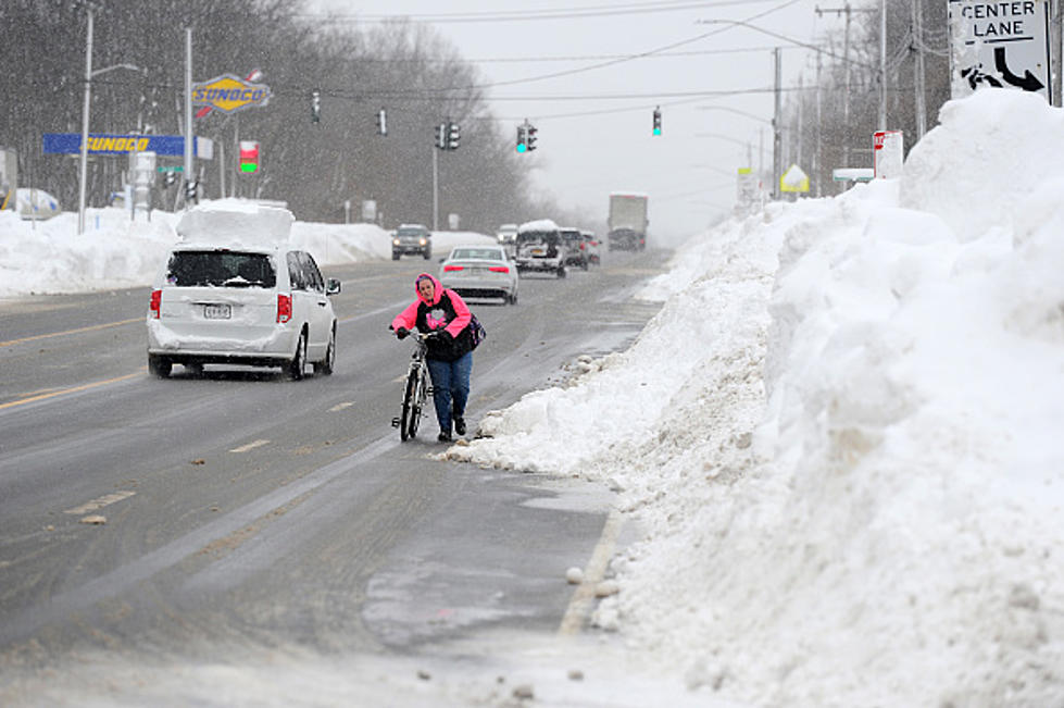
The snow is a concern but the heavy winds is the bigger concern. 45 mph wind gusts are expected with this snow event. That will cause white-out conditions and travel could be impossible at times, so if you're traveling Friday night through mid-day on Saturday, make sure you keep the weather in mind going into the weekend.
Why couldn't this have happened on a Monday? It would at least give us an excuse not to leave the house!
Read more here.
ALSO SEE: 30 Most Decade-Defining Memes
More From 106.5 WYRK