Another Winter Storm Heading for New York State
January is routinely cold and snowy here in New York state, which makes it the least favorite month of the year for many.
However, this January has started out on the mild side. Temperatures have been in the 30's and 40's, while we haven't really seen much in the way of significant snowfall. The temperatures lately have been in the 40's, which will continue into Thursday.

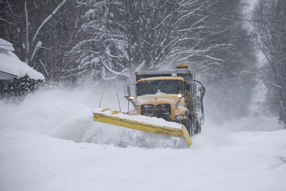
Snow is on the way for many in the state, though.
Snow is possible on Friday but Sunday into Monday is what many forecasters are looking ahead to.
According to long-range models, a winter storm will be working its way into the Mid-Atlantic and Northeast, which will likely bring snow, potentially heavy, to New York state.
Here are the three separate models, including the Euro model, which all agree there will be significant precipitation for the region.
The snow should arrive by Sunday afternoon and be at its heaviest Sunday night and Monday morning.
That's not the only system to look forward to. Wednesday will see another system move into New York state and this will also bring snow, with the heavier amounts being off Lake Erie and Lake Ontario.
The Wednesday models are on the right.
There's a colder weather pattern for the end of January and weekend looks to be the start of the cold and potentially snowy pattern.
Meteorologists won't know exact snow totals until we get closer to Monday and Wednesday, but keep the snow brushes handy.
What will February bring to the state? More snow? We will have to wait and see.
Ten New York State License Plate Laws
Gallery Credit: Traci Taylor
21 New York State Counties With The Most Horrendous Commute Times
Gallery Credit: Dave Wheeler
26 Highest Paying Jobs in New York State
More From 106.5 WYRK