Winter Storm Warning; Dangerous Driving Conditions For Western New York
The story on Saturday will be the chilling temperatures. The high will only be around 12 degrees this afternoon, before going back down into the single digits for the Bills home playoff game tonight.
While the cold weather will be the story for today, it's the snow that will be the story heading into the beginning of next week.
The temperature will rise into the mid-20s for Sunday afternoon, but then all of Western New York will be hit with a huge winter storm that will dump plenty of snow in all regions.

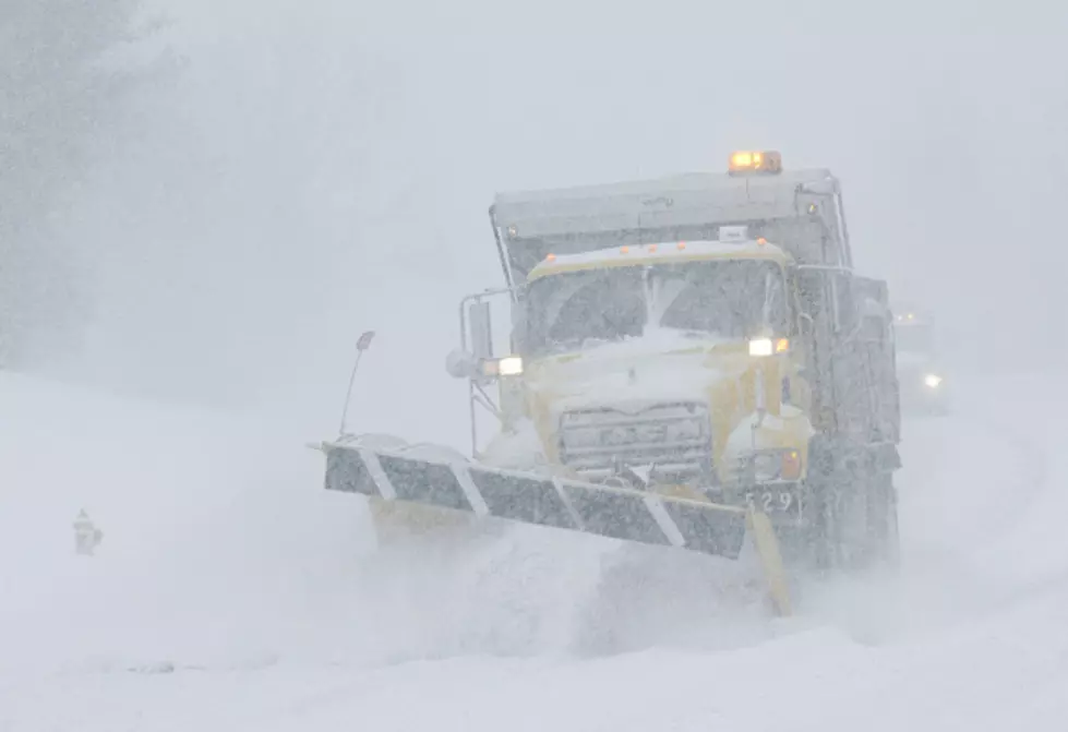
The Winter Storm Watch issued early Friday morning has been upgraded to a Winter Storm Warning for all of Western New York, including the City of Buffalo. It starts at 6 pm on Sunday.
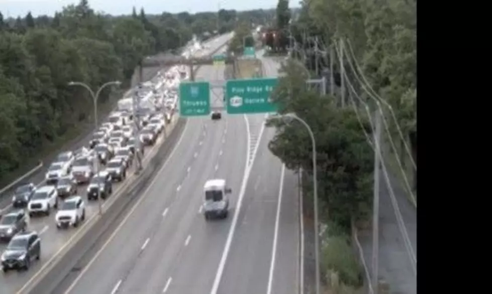
12-18 inches of snow is expected with this winter storm system, which will work its way up to the northeast on Sunday evening. It's not just the heavy snow, either, but gusts of 45 mph will make driving conditions dangerous to impossible for motorists,.
If you have the ability to work from home on Monday, it's probably a good idea to do that. If you have to travel on Monday, especially Monday morning, be extremely careful, as conditions will be brutal for maneuvering and visibility. I wouldn't be surprised if we see travel advisories from this storm.
The reason this snowstorm is more dangerous than a week and a half ago, is because this is a general snowfall that will sweep across the entire region, versus a lake effect snow band that only impacted one area at a time and was harder to pinpoint its movement -- with this, we know everyone will be getting heavy snow at roughly the same exact timeframe.
LOOK: Things from the year you were born that don't exist anymore
Gallery Credit: Stacey Marcus
LOOK: 50 famous memes and what they mean
Gallery Credit: Katherine Gallagher
LOOK: Food history from the year you were born
Gallery Credit: Joni Sweet
RANKED: Here Are the 63 Smartest Dog Breeds
Gallery Credit: Sabienna Bowman
More From 106.5 WYRK