Canada Expecting A “Snow Train” Of Storms This Winter
The weather sure has been hot and dry this summer. By some accounts, this may be the warmest summer we have ever had in the Western New York area! It's no different just north of here.

Even though we can't get to Canada because of COVID-19, our neighbors to the north have been dealing with similar weather the past few months. But when the cold north air starts to sink in, Canadians will be keeping their eye on what forecasters are calling the "snow train."
According to a report from Yahoo.ca:
“We expect basically to start out on the tracks in December and just be a series of storms that chug across the prairies, Ontario and into Quebec...into early March.”
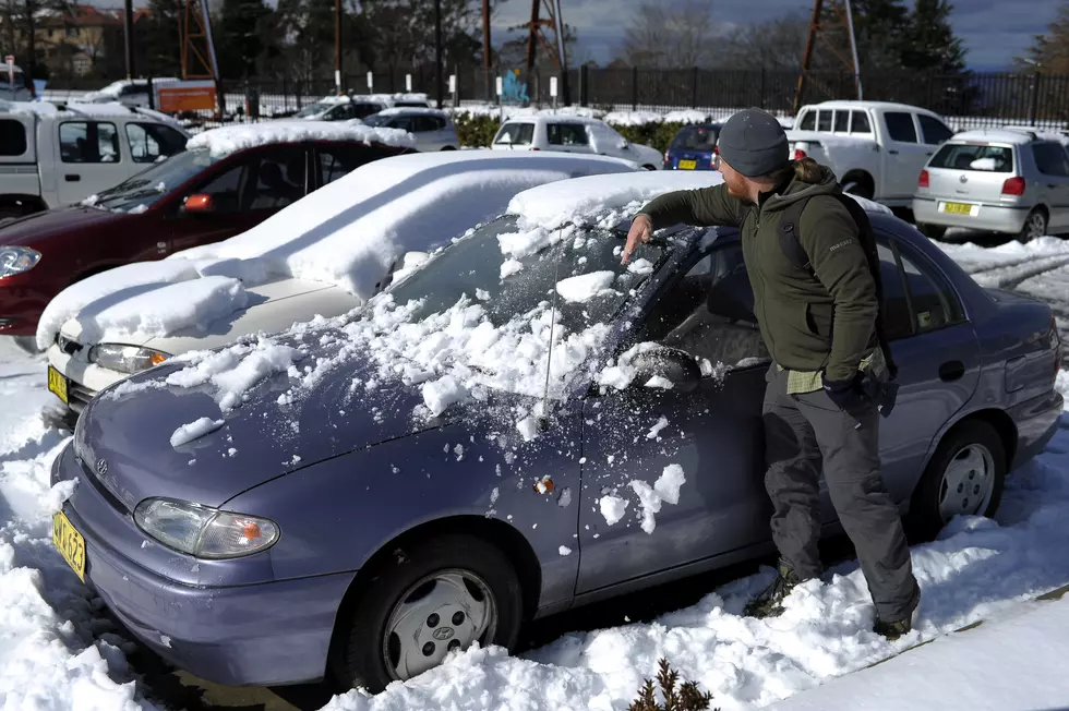
It has been something that I have been wondering about. What if we get an early cold snap this fall and winter? The great lakes seem to be staying warmer than usual and that could be setting up the best case scenario for lake effect snow storms. It was mid October that we got slammed with the "October Surprise" storm years ago. It dumped a crazy amount of snow on us and caused power outages for days. The problem with early snow it=s that it is generally heavy and wet and combined with leaves still on the trees, it really makes for a dangerous situation.
The way 2020 has gone, does a heavy snow storm ear;y sound put of the question? It would just be another chapter in the already crazy year we have had.
KEEP READING: Get answers to 51 of the most frequently asked weather questions...
More From 106.5 WYRK