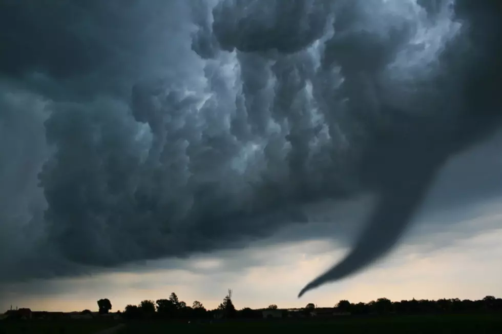
Few Tornadoes Possible For New York State This Week
It’s been downright hot and muggy this week across Western and Central New York. Wednesday has been the most humid, as temps reached the high 80’s and even 90 degrees in some spots, which is always noteworthy in New York State.
It’s hard to believe we had snow falling just nine weeks ago, but we are now fully into the warm weather of summer.

This is also the time of the year that heavy thunderstorms can impact at any given moment. Pesky, pop-up thunderstorms can hit at a moment’s notice which can produce heavy downpours, damaging winds and hail,
Much of New York State will have to dodge thunderstorms tonight and especially on Thursday afternoon.
According to the National Weather Service, there will be two waves of thunderstorms will cut across much of Western, Central and Upstate New York.
The first wave will be tonight, with the potential for severe thunderstorms.
The second wave will be tomorrow afternoon, where we will have the likelihood of severe weather.
Damaging winds, large hail and yes, even a few tornadoes are all possible; especially in the Finger Lakes region and towards Syracuse and Albany.
While tornadoes are rare in New York, they have happened in years past and even as recently as the last five or six years.
Remember to keep alerts for weather on Twitter (if you’re on Twitter), and always stay in touch with any weather updates regarding thunderstorms, which can strike very quickly.
Always hope for the best but prepare for the worst.
The 10 Worst Small Towns In New York [RANKED]
Gallery Credit: Matty Jeff
Did You Know This?? 13 Upstate Food Favorites You Can't Buy Outside of New York State
Gallery Credit: Chuck D'Imperio
KEEP READING: Get answers to 51 of the most frequently asked weather questions...
More From 106.5 WYRK