Know The Difference Between A Weather Watch and Warning
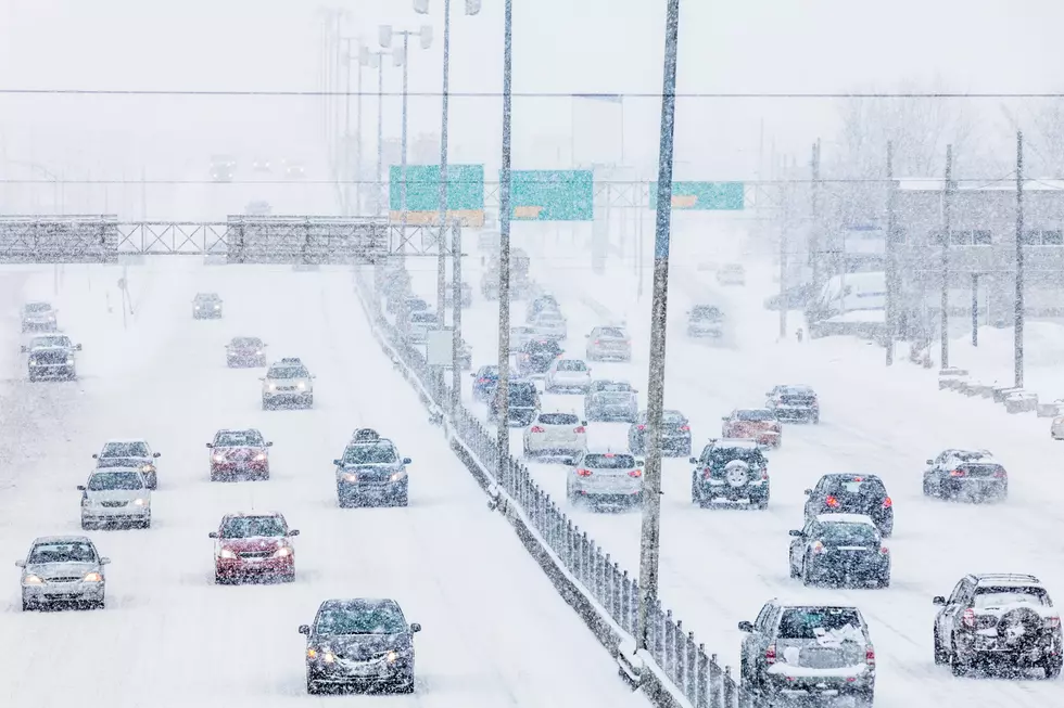
This weekend old man winter has returned to Western New York and a Blizzard Warning was issued for the Southern Tier.

So what is the difference between a Watch and Warning?
According to Weatherworksinc.com it all comes down to potential threats.
A WATCH means that the potential exists for the development of severe thunderstorms or tornadoes, depending upon the specific type of watch issued. While no immediate action on the part of the general public is required for the issuance of a watch, citizens should keep up to date on the current weather situation and be prepared to seek shelter if necessary.
A WARNING, on the other hand, requires more immediate action and should be taken seriously. A warning indicates that severe weather is imminent in your area or is already occurring
So what should we expect with a Blizzard warning? Blizzard like conditions of snow and winds for at least 3 hours.

The Blizzard Warning is in effect until 4 pm Friday afternoon.
...BLIZZARD WARNING REMAINS IN EFFECT UNTIL 4 PM EST FRIDAY...

* WHAT...Blizzard conditions expected. Total snow accumulations
  of 1 to 2 feet. Winds gusting as high as 55 mph will result in
  extensive blowing and drifting snow.

* WHERE...Southern Erie and Wyoming counties and the western
  Southern Tier.

* WHEN...Until 4 PM EST Friday.

* IMPACTS...Travel could be very difficult to impossible. Areas
  of blowing snow will produce near zero visibility. The
  hazardous conditions will impact the morning and evening
  commutes today and Friday. Strong winds could cause some tree
  damage and isolated power outages.
More Articles You Might Be Interested In
More From 106.5 WYRK