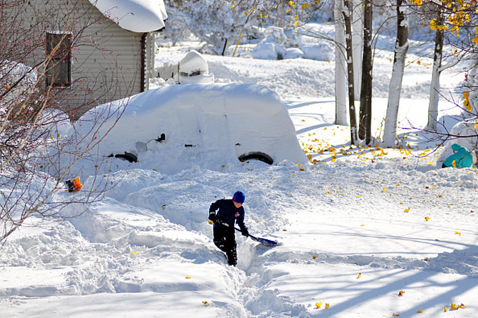
Nearly Two Feet of Snow Expected in New York State
The snow hasn’t really been a factor so far this season in New York State. There has been light snow, which fell earlier this month and back on Halloween, but in terms of big snow events, we haven’t had any yet.
That changes in a big way this week.
The National Weather Service has issued a Lake Effect Snow Warning for parts of Western and Central New York.

For the City of Buffalo, only 1-2 inches are expected but for the south towns and southern tier, anywhere from 6-18 inches are possible. Yes, nearly two feet of snow are possible with this lake effect snow event.
The same goes for those off Lake Ontario, with a small patch being in danger of seeing 24 inches of max snowfall.
This Lake Effect Snow Warning runs from Monday at 7 am until Wednesday at 7 am.
The National Weather Service says Tuesday is the biggest problem day and to expect difficult to impossible driving conditions at times, when the lake effect snow bands are at their worst.
Wind gusts could be as strong as 35 mph, which means visibility driving will be awful at times. Lake effect snowstorms can change in an instant, so it’s best to have alerts on your phone when it comes to weather warnings for lake effect snow. Bands can start and shift at a moment’s notice.
The good news is this should all be over by late Wednesday, which means greatly improved travel by Thursday and heading into the weekend.
Be safe this week and keep the snow shovel and snowblower close by.
10 New York State Towns Right Out of a Hallmark Christmas Movie
15 Things To Look Forward To Before Snow Flies In Western New York
Gallery Credit: Brett Alan
18 WNY Restaurants That Will Be Open On Christmas Eve
Gallery Credit: Brett Alan
More From 106.5 WYRK