Parts of New York State To Get 2 Feet of Snow
After battling the extreme cold temperatures on Friday and Saturday in New York State, now, all eyes are on an impending winter storm that will wreak havoc on travel.
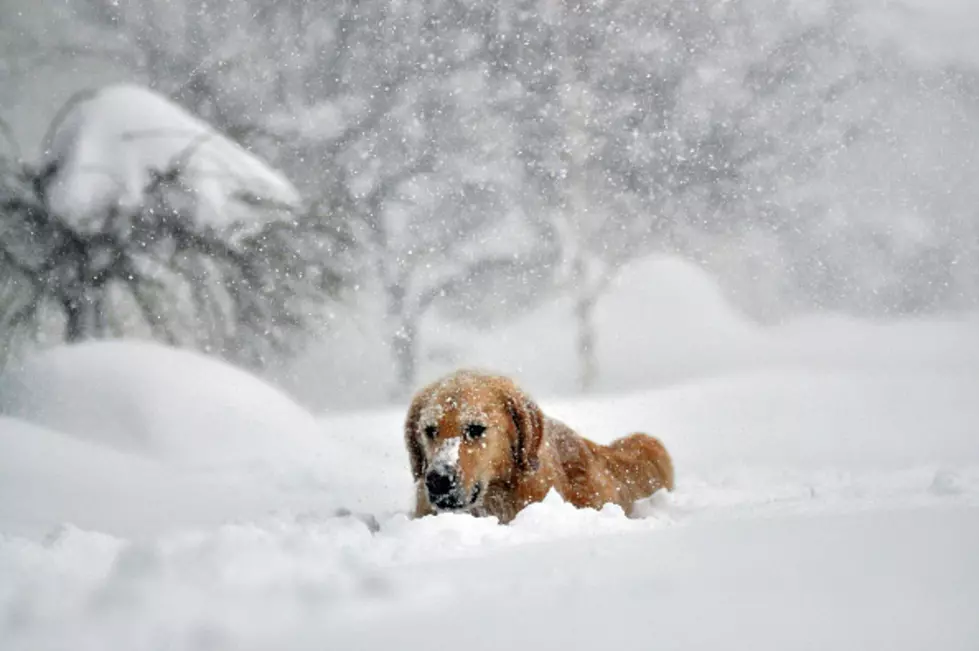
In case you have not heard, a major winter storm is moving its way up to the northeast and will slam square into New York State by Sunday night and through much of Monday.
Most of the state will receive snowfall, and some will see heavy snow, for those near Lake Erie and Lake Ontario.

The heaviest snow in this huge winter storm will be in Western New York, where residents can expect anywhere from 1-2 feet of heavy snowfall from Sunday evening (after 9 pm) through Monday afternoon.
Central New York and the Finger Lakes region will receive anywhere from 8-18 inches of snow, while lesser but significant amounts are expected near New York City and upstate New York.
This system is dumping snow and ice in the southeast right now, including Tennessee, and will be making driving conditions extremely difficult for much of New York State late Sunday night and through Monday.
If you can work from home on Monday, it's a great idea to do just that. The wind gusts will be upwards of 40 mph from this storm, which can cause white-out conditions and make traveling nearly impossible.
Stay safe out there is you are going to be driving, especially on Monday morning.
LOOK: Here are the pets banned in each state
LOOK: Things from the year you were born that don't exist anymore
LOOK: What major laws were passed the year you were born?
RANKED: Here Are the 63 Smartest Dog Breeds
More From 106.5 WYRK