Polar Plunge and Snow Next Week For New York State
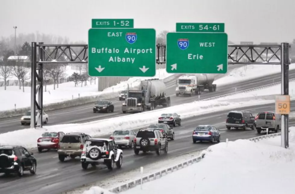
After a horrendous December for weather, which featured one of the most historic winter storms we have ever seen. It caused a blizzard, which lasted nearly two full days in Western New York on Christmas weekend, resulting in the deaths of over 40 people.
November also saw cold temperatures and heavy snowfall for those off Lake Erie and Lake Ontario, over six feet of snow.

The start of January has been much warmer here in New York State, although it's been extremely rainy.
The above-average temperatures have been very much welcomed for those in the state, although looking ahead to next week, we have more snow and cold to deal with. It could bring a stark change to the weather we have had to start the month.
Mike Cejka of WIVB says that signs of a polar plunge are in store for next week, which would be Wednesday and beyond. It will bring temperatures into the 20's and lake effect snow for Western New York, although we will see very cold temperatures across many parts of the state.
We don't yet know exactly what the future beyond next Wednesday holds, but it appears like we will see more bitterly cold temperatures. Snowfall totals won't be known yet, because it's simply too early to tell.
As for this weekend, snow is expected in parts of New York state, especially in the southern portion of the state and off the lakes, but accumulation should be very manageable.
Hopefully those temperatures can stay in the 40's more times than not this winter.
25 Worst Paying Jobs in New York State
Gallery Credit: Canva.com
Ten New York State License Plate Laws
Gallery Credit: Traci Taylor
At Least 38 Kids Are Still Missing This Year In New York State
Gallery Credit: Ed Nice
More From 106.5 WYRK