Tornado Risk in New York State on Monday
There’s less than one month before Labor Day Weekend, which means that summer is starting to slowly wind down. We still have another six weeks of summer weather, but there more summer behind us than ahead of us.
The weather has been a mixed bag in New York over the past several weeks, with 90-degree heat and thunderstorms being the story lately.
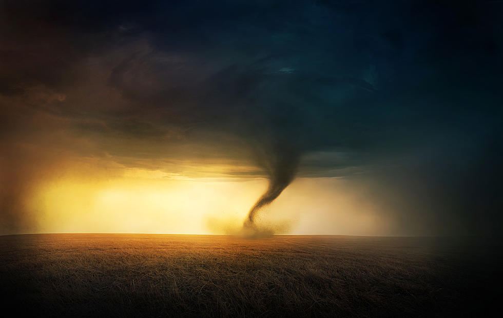
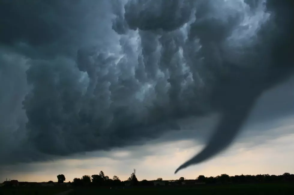
The thunderstorm season hasn’t been too bad, all things considered, however we are not out of the woods yet for severe weather. That threat will be back on Monday and it could be bad.

Thunderstorms and heavy rain will be around in Western and Central New York on Monday, especially the afternoon and evening hours. The region could see heavy downpours, damaging wings and yes, even the small chance of a tornado.
Mike Doyle of WIVB Weather gave the insights on the timing and what to expect for Monday.
The afternoon is when it looks to be very bad and these storms will be present in states like Pennsylvania, Ohio, Maryland and West Virginia.
It appears that the southern tier has the better chance for the worst of these storms, which could produce a tornado. Again, it’s not likely to happen, but the threat being there is warning enough. Tornadoes are not common in this state.
Tuesday looks to be another rainy day, with cooler temperatures. Wednesday is the day that looks to be when the weather turns for the better. Sunshine and high 70’s.
Be alert and safe on Monday, in case the weather turns bad.
The Top 10 Most Stolen Cars In New York State
Nearly 50 Children Have Recently Gone Missing From New York State
The 10 Most Haunted Places in the Southern Tier of New York State
More From 106.5 WYRK