Hurricane-Force Winds Could Hit New York
Has there been a winter in recent memory that has brought more snow and cold to New York and northeast? I'm sure there has been but these past 4-6 weeks have been absolutely brutal for New York State residents, and the wild weather machine isn't over yet.
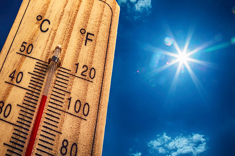
All of New York State can expect warmer than normal temperatures for Wednesday and Thursday. Western New York will be in the 50's, while New York City could see temps in the low 60's, which is crazy to think about for February. But with that brief warmth comes a price to pay.

The warmer air coming into the State of New York, and the northeast, will be accompanied by heavy winds, which will also bring heavy rain, ice and snow, according to AccuWeather.
AccuWeather forecasters say that the winds will be extremely potent. While Wednesday will be very windy, forecasters are more focused on the winds that will whip through the northeast, including the New York City and Long Island areas, from Thursday night into Friday morning.
Wind gusts of 40-60 mph, with the potential for peak wind gusts up to 75 mph are possible. Hurricane-force winds are those 74 mph or greater, which has potential with this storm system.
Flooding is a major concern as well, and this is for all of New York State. The heavy rains and melting snow from the snow systems that have already come through, will make flooding possible in many parts of the state. This is also true for coastal areas, especially with the heavy winds.
Temperatures return to normal for this time of year once we get into Friday and Saturday, because of course it does, as Mother Nature delivers some impeccable timing.
It'll be an eventful 48 hours of weather. Warmer temps, heavy rain, possible flooding, and those heavy winds might be the biggest concern for everyone.
LOOK: What major laws were passed the year you were born?
Gallery Credit: Katelyn Leboff
LOOK: Things from the year you were born that don't exist anymore
Gallery Credit: Stacey Marcus
LOOK: Food history from the year you were born
Gallery Credit: Joni Sweet
More From 106.5 WYRK