Expected Lake Effect Snow Totals For Each WNY Region
After such a mild month of December in Western New York, things have changed drastically in January. Things are about to change even more dramatically for Buffalo and Western New York.
A Lake Effect Storm Warning is in effect for Erie and Genesee counties from 7 pm Wednesday through Thursday. A Winter Weather Advisory is now in effect for Wyoming County from 7 pm Wednesday through Thursday.
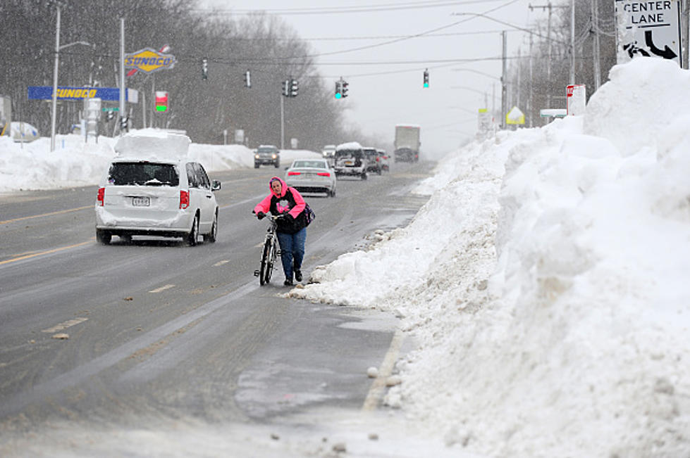
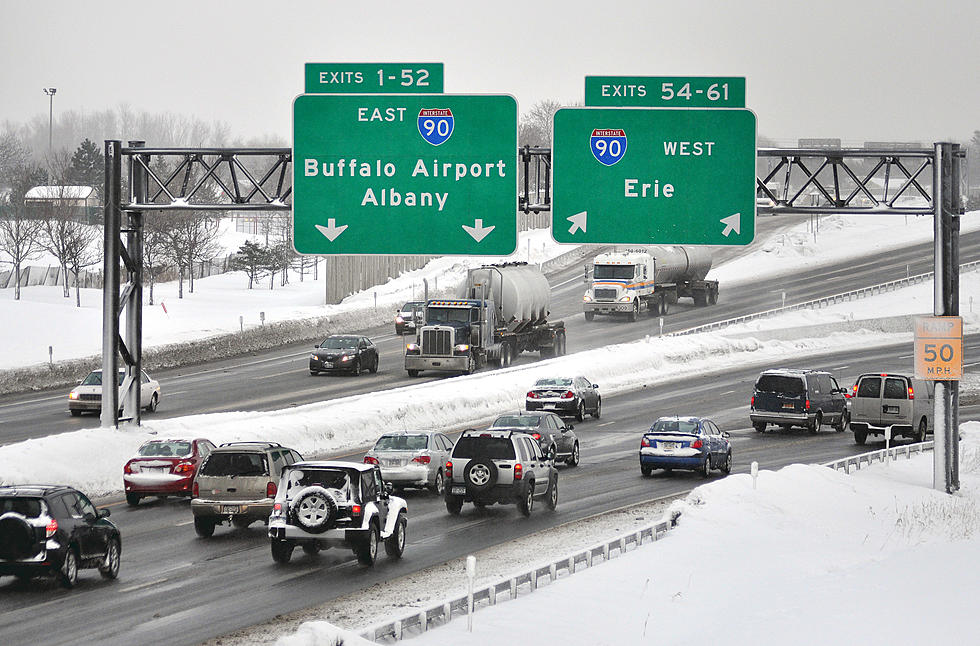
After temperatures will warm up to 40 degrees on Wednesday, a cold front whips through Western New York and will bring heavy lake effect snow that will make travel extremely difficult, even impossible at times with 40 mph wind gusts and limited to no visibility.

As for exactly how much snow we will receive, it really depends on where you live in Western New York. Usually for these types of lake effect snowstorms, the further south you go, the worse it gets; but this one won't be exactly that.
The lake effect band is likely to set up around the City of Buffalo and just to the south, which includes the southtowns. Areas in the north and southern tier will also receive accumulating snow, but not quite as much.
Patrick Hammer of WGRZ posted potential totals and the drastic difference in accumulations is drastic.
Expected WNY Snow Totals From The Lake Effect Storm
29 Things That Make Buffalonians Happy
The Top 30 Beef on Weck Restaurants In WNY
LOOK: The most expensive weather and climate disasters in recent decades
More From 106.5 WYRK