Heavy Lake Effect Snow Likely Coming to WNY
Many here in Buffalo can't remember the last time we had such a mild December. Other than two or three days where it snowed, it was mostly dry and warmer than it should have been that time of year.
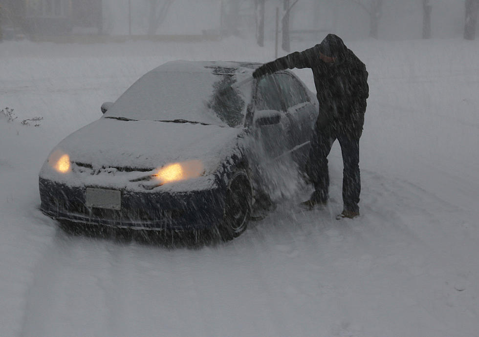
After a mild New Year's Day, things got cold, and snowy for Western New York on Sunday. That looks to be just the start, however, as more cold and a lot more snow appears to be on the way for Buffalo and Western New York.

Mike Cejka of WIVB tweeted out the potential for lake effect snow hitting Western New York on Wednesday night and into Thursday.
Both WGRZ and WKBW also detail a heavy lake effect snow event that would likely set up in the Buffalo metro by Wednesday evening and then shift to the southtowns later on, into Thursday, where we could have that lake effect snow band last into the early afternoon on Thursday.
Aaron Mentkowski of WKBW called it a big-time lake effect event that could give Western New York plenty of snow. That's not all either, as more general snowfall will likely happen for all of Western New York on Friday.
As of right now, it's still a bit too early to pinpoint exact totals or the exact path this lake effect band will take, but the colder air with the wide open, unfrozen Lake Erie will make this a snow event that forces many of us to shovel.
15 WNY Pizza Places That Are Criminally Underrated
20 WNY Restaurants That Should Be Way More Famous
The Top 30 Beef on Weck Restaurants In WNY
Former Buffalo Sabres Player Sells Million-Dollar Clarence Home
More From 106.5 WYRK