Severe Weather Alert Posted for New York State
It's that time of year that the weather is the most uncertain.
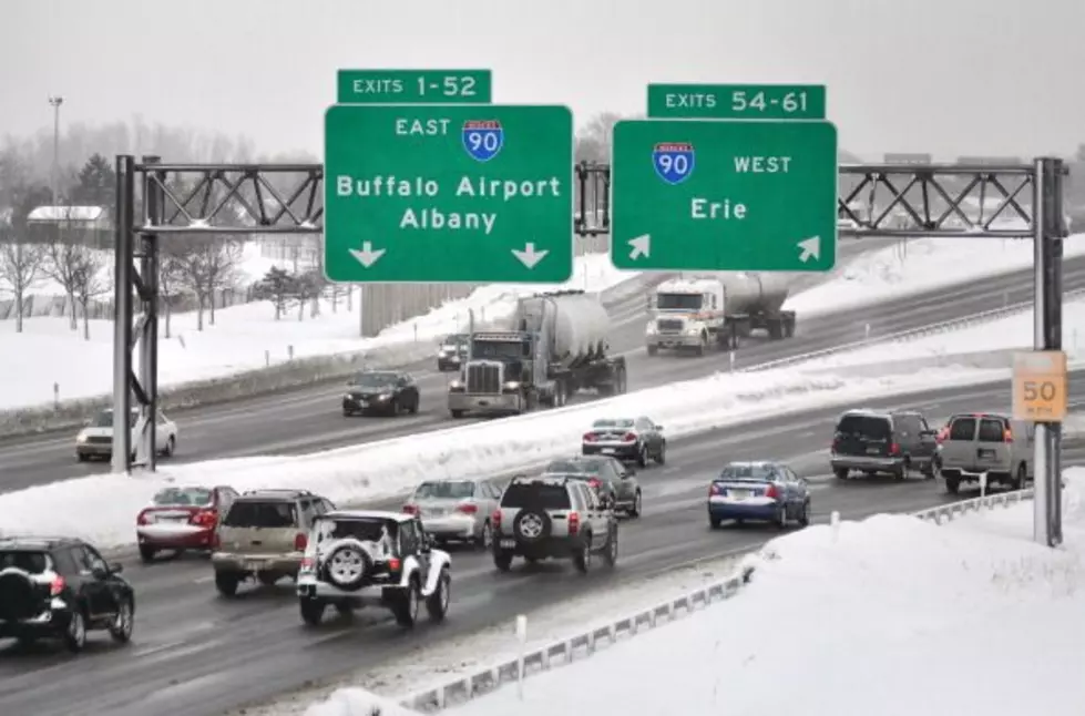
We're in the midst of the hottest time of the year for the northeast, which includes New York state. After what was a rather nice cool down to the 70's this past weekend, the temperatures are on the rise again and much of the state will reach the 90-degree mark at least once by Friday. It will feel more like Texas than New York.
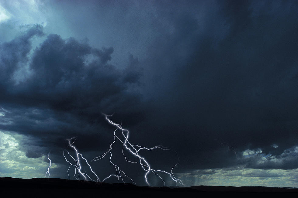
The heat and humidity, which started on Monday, also means that the risk of thunderstorms will increase. Monday is one of those days.

The National Weather Service said this morning that the entire state would have at least a marginal risk of severe weather today, but by the afternoon, the NWS elevated that risk.
There is a Severe Thunderstorm Watch in effect for Central and Upstate New York until 8 pm this evening. There will also be a small risk of severe thunderstorms for Western New York this evening.
Hail the size of ping pong balls, damaging wind gusts of 70 mph and frequent lightning are the things to watch out for in regards to these passing thunderstorms, which may be significant in nature.
There will be much dry time this week across the state but the risk of severe thunderstorms is going to be there by all accounts, especially later in the week.
Stay alert if you live in the areas under a Severe Thunderstorm Watch. Things should improve tomorrow, with less of a threat of thunderstorms.
LOOK: The most extreme temperatures in the history of every state
Gallery Credit: Anuradha Varanasi
Quiz: Do you know your state insect?
Gallery Credit: Andrew Vale
LOOK: 20 American foods that raise eyebrows outside of the US
Gallery Credit: Charlotte Barnett
More From 106.5 WYRK