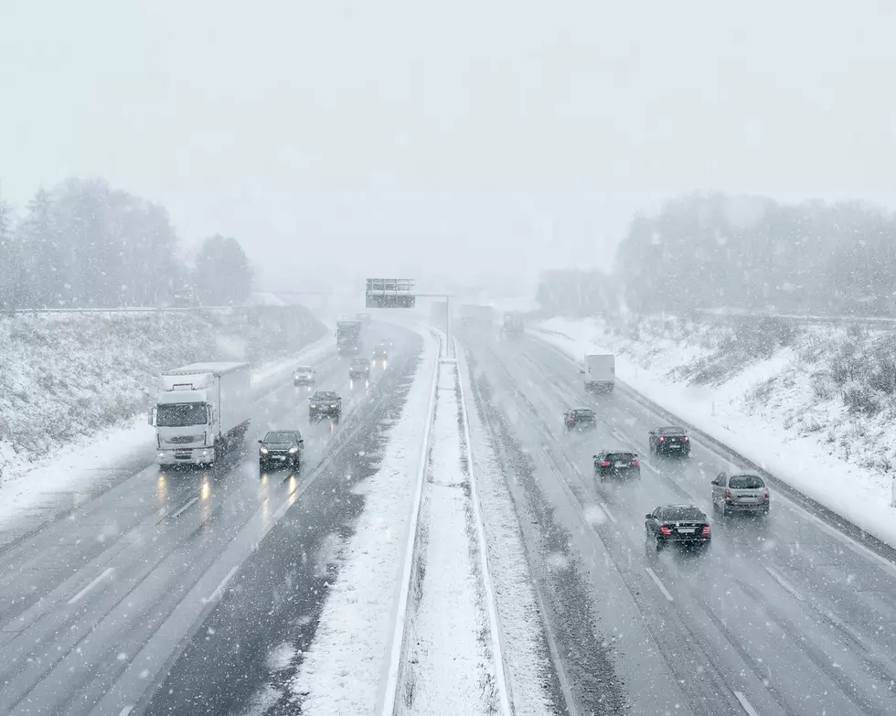
Snow On The Way For Buffalo
Late November, early December is that time of the year where lake effect snow chances are most prevalent. Lake Erie and Lake Ontario is still warm and has not frozen over yet, so Buffalonians know to be on their toes.
Over the past week or two, a majority of the heavy snow that has fallen in Western New York has been south of the Buffalo metro. That's not to say it hasn't snowed in Buffalo, as we saw an inch or less on Sunday, especially earlier in the day.
More snow is on the way and this time it will impact the Buffalo metro.

WIVB 4 Warn Weather says a clipper system will sweep into Western New York later tonight and into the early morning hours of Tuesday.
This system will bring a band of lake effect snow that will impact the Buffalo metro. As of now, anywhere from 1-3 inches is expected for the City of Buffalo, but pretty much everyone around Buffalo and south of the city will get a couple of inches, before the snow dissipates later on Tuesday morning.
The early morning Tuesday commute could be a slippery one, so leave yourself a few extra minutes to reach your destination just in case.
Some rain and wind heads our way for Wednesday and Thursday, while some more lake effect snow chances are in store for us this upcoming weekend and even into Monday.
I'm still waiting on that big lake effect storm that hits the Buffalo metro. We usually get one before New Year's every year...
20 WNY Restaurants That Should Be Way More Famous
25 Ways To Annoy A Western New Yorker In 5 Words Or Less
Gallery Credit: Brett Alan
The Top 40 Pizza Places in Western New York
$3 Million Home in Elma Has a Secret Room
More From 106.5 WYRK