Weather Model: Big Snowstorm for New York in Early December
After Thanksgiving is typically when people start to look out for upcoming snowstorms, which usually start in late November or early December; especially if you live upwind of Lake Erie or Lake Ontario.
Overall, however, New York State has not had a big snow event quite yet. Yes, we have had two or three inches of snowfall here or there, maybe a little more, but nothing that would quantify as significant.
It sure looks like that luck of avoiding significant snowfall is about to run out, as we head into the month of December.

Western New York and those west of Lake Ontario will see lake effect snow bands likely set up early next week, which could drop snow amounts big enough to require plows and shovels. It's part of this cooler trend that will stick with us most of next week.
However, that's not all.
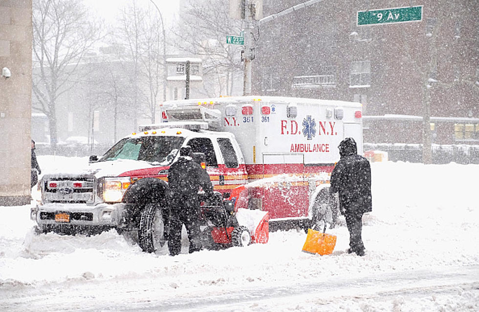
The latest GFS model runs paints a big weather system, sweeping through the state on December 9th and 10th. That system right now will be cold enough to drop a lot of snow downstate in New York, including New York City and Long Island.
Over a foot of snow is possible with this system, although it's still two weeks out, so we wait and see if it happens.
New York will get its fair share of snow in December. The only question is how much and exactly when? It appears a big weather system (or two) will cross the state, but will it drop this much snow? Only time will tell, but it's something to keep an eye on as we head into the next few days.
The 10 Snobbiest Places In New York State
The Top 10 Snowiest Cities in New York State
Gallery Credit: Megan
21 Wealthiest Billionaires in New York State
Gallery Credit: Credit - Polly McAdams
More From 106.5 WYRK