10+ Inches Of New Snow For Western New York
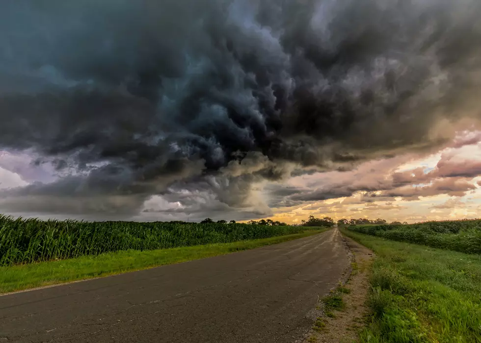
Another round of lake effect and widespread snow is coming to Western New York. There are multiple winter weather alerts in place for Western New York.
Lake Effect Snow Warning For Western New York
The National Weather Service in Buffalo has issued a couple of winter storm alerts for today and heading into next week. Currently, there is a Lake Effect snow warning in place for Southern Erie and Wyoming counties. That warning is in place until 1 pm on Friday.
Heavy lake effect snow and blowing snow today through
  Friday. Additional snow accumulations 8 to 14 inches in the most
  persistent lake snows. Winds gusting as high as 40 mph will
  produce significant blowing and drifting snow.
The snow will stop for a bit on Saturday before another round will fire up on Sunday to kick off the new week.
Winter Weather Advisory For Western New York
The National Weather Service in Buffalo has issued a Winter Weather Advisory for all of Western New York outside of Southern Erie and Wyoming counties. This advisory will be in place until 1 pm on Friday. Up to 9 inches of snow is possible, and wind gusts of 40 miles per hour will impact your morning and evening commutes.
READ MORE: RECORD-SETTING COLD SET TO MOVE ACROSS WESTERN NEW YORK THIS WEEKEND
Winter Storm Watch For Western New York
Western New York, along with most ofthe East Caost will be impacted by a massive winter storm over the weekend. A Winter Storm Watch is in place for all of Western New York starting on Saturday night and lasting until Monday night. More snow and blowing winds could end up causing blizzard-like conditions across much of the region.
5 Snowiest Days In New York State History
Gallery Credit: Dave fields
More From 106.5 WYRK