Up To 8 Inches of Snow This Week Possible in Western New York
The weather was pretty decent this past weekend across Western New York and the City of Buffalo. Other than that wind, which was a story on Saturday, but the rain mostly held off and we saw temperatures near 60 degrees.
Monday, however, was a drastic turnaround in the weather and it's not pleasant.

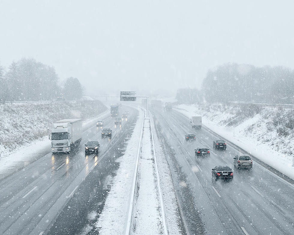
Monday has been cold and rainy, even hail has been falling in many spots around Western New York, as a low pressure system rotates and stays over the Midwest and Northeast.
That system will bring the region plenty of lake effect rain showers through Wednesday and will also have a chance to mix in with snow.
That's right, it's already to think about snowfall in Western New York and yes, it's only October 17th.
Snow is possible in Western New York this week, with the best chances for accumulation south of Buffalo.
The National Weather Service tweeted out what to expect with totals.
Pretty much everyone in Western New York and areas south and east will see a dusting or at least a trace of snowfall.
1 inch of snow or more is possible in the City of Buffalo but only a one percent chance. A much better shot of an inch of snow or more in the southtowns and especially the southern tier. Some portions of Chautauqua and Cattaraugus counties could see 2-6 inches of snow and yes, even up to 8 inches are possible in the far southtern tier's higher elevations, although it's not likely (just possible).
This will be until Thursday, when we finally start to get out of this cold spell and get to warmer weather for Friday through Sunday.
Don't have the snowbrush and gloves far is what we're saying.
2006 October Snowstorm Buffalo
Gallery Credit: Dave fields
The Dates When New York State Typically Sees Its 1st Snowstorm
The Top 40 Pizza Places in Western New York
More From 106.5 WYRK