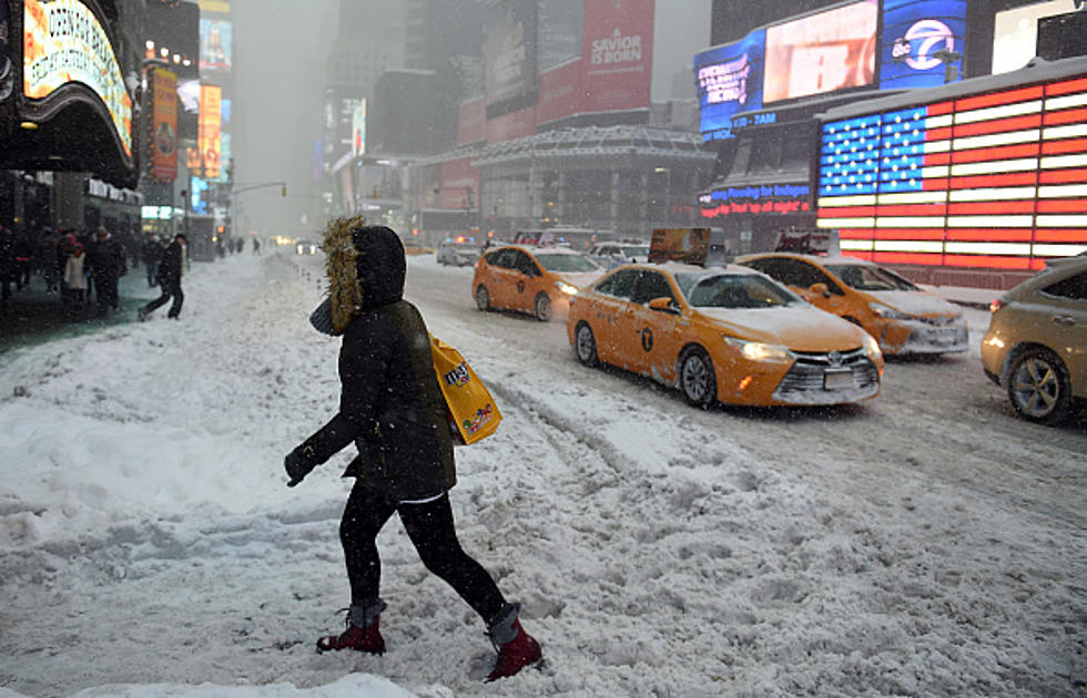
Prediction Shows New York Could Soon Be Slammed with Snowstorm
The spring and summer-like weather is officially a thing of the past, until at least 2024. It's nothing but cooler and downright cold temperatures for the next several months.
A huge weather pattern change took place Saturday night and into Sunday morning, bringing high temperatures to only the 40's and 50's across the state. That will only worsen, as we have low's in the 30's for places in New York State on Halloween and November 1st.
There could be the first accumulating snowfall in parts of New York by Wednesday evening, which will be a shock to the system, after 70-degree weather this past week. However, there's another system that should be making its way into the northeast and New York State by the second week of November; potentially bringing a snowstorm downstate in New York.

The GFS model is currently showing a weather system which will strike next weekend (November 10th and 11th) and already showing snow totals above a foot of snow for places downstate and even the New York City region.
This is only a model run/prediction. This might not come true but it does show that the potential is there with this system.
Once we reach the month of November, all bets are off for snow in New York State -- especially those who live downwind of Lake Erie and Lake Ontario. The lake effect snows are typically worse in November and December, when the lake is warmer/unfrozen and temperatures hover around the freezing mark (32 degrees).
This system is something to keep an eye on. The Weather Channel is forecasting multiple days of snow for places like Lake Placid that week of November (5th through the 10th).
Make sure the snow shovels are gloves are ready.
5 Upstate New York Cities Named Friendliest In New York State
Gallery Credit: Matty Jeff
The 30 Smallest Towns In New York State On The Brink of Ghost Towns?
11 Worst Places To Live In New York State
More From 106.5 WYRK


