Western New York Bracing for Potentially Awful Ice Storm
This winter will be one that goes down in the history books for everyone in Western New York, especially for those who live in the City of Buffalo and south towns.
The winter campaign wasn't officially here, but it basically arrived in mid-November when Buffalo and the suburbs just south were slammed by a historic lake effect snowstorm, which dumped over six feet of snow in some areas.
Then, the unbelievable Christmas weekend blizzard, which resulted in the deaths of 50 residents in Western New York and had all of Erie County at a standstill with crippling winds and heavy lake effect snowfall. It destroyed the holiday weekend and took well over a week to clean up.

Since then, it's been relatively quiet. Not much snowfall to speak of and only one short brief blast of arctic air to start February; we have even seen temperatures reach 60 degrees.
That will change later this week.
According numerous forecasts, including WIVB 4 Warn Weather, there's a potentially bad winter storm heading our way. It will start to take shape during the evening on Wednesday and continue into Thursday.
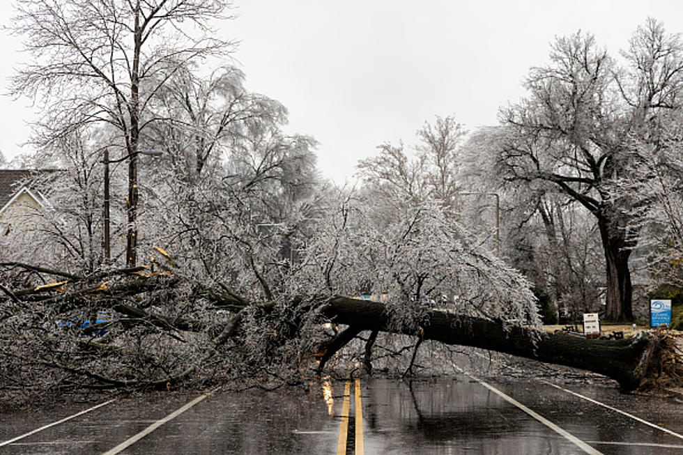
This storm could drop freezing rain for a considerable amount of time, which could mean the roads are dangerous and power lines come down by Thursday; due to the weight of the ice on tree limbs across the region.
Mike Doyle of WIVB Weather says that the timing is Wednesday night and Thursday. All three weather models are in agreement that Western New York will be in the crosshairs for freezing rain, with heavy sow in Ontario and rain in Pennsylvania.
Any variation in temperature can alter how much freezing rain we do get by Friday morning, but people should be prepared for one awful day for travel conditions on Thursday.
5 Very Buffalo Ways To Predict The Weather
15 Places To Take Someone You Hate In Buffalo, New York
The 45 Best Fish Fry Restaurants in Western New York
More From 106.5 WYRK