Severe Weather; Tornado Possible for Western New York
We're a month into summer and already it's been quite the interesting weather pattern.
Technically, wildfire smoke isn't weather but the Canadian wildfire season has caused hazy smoke for Buffalo and Western New York. Unhealthy air has been on and off since the first week of June.
The humidity has been a storyline since June as well, as many of the days have been downright muggy; with passing thunderstorms. Get ready for more thunderstorms on Thursday and they could be severe.
The National Weather Service is forecasting waves of passing/scattered thunderstorms for Thursday. It should start around 5 or 6 pm, with more widespread thunderstorms and heavy rain late on Thursday night.

Damaging winds, heavy downpours and hail are the main threats.
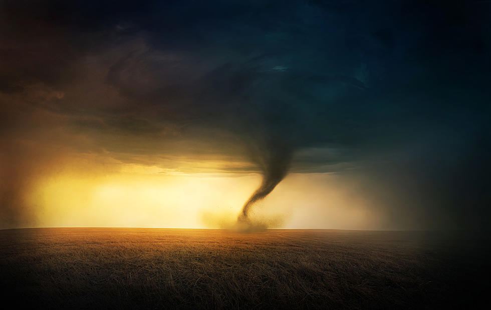
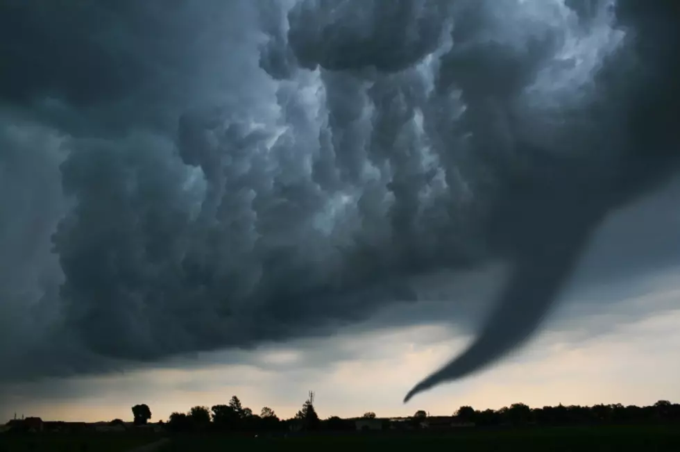
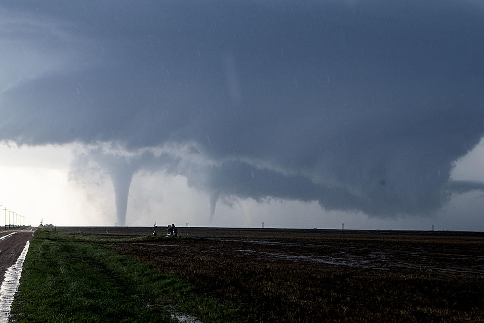
There's also a small chance at a tornado in Western New York, particularly in Chautauqua County and near the Pennsylvania border.
There's no guarantee we all will see this kind of weather tonight, but there is the risk of it, which is why people should be prepared for the worst.
The good news is that by Friday afternoon, the weather should clear up and set us up for a rather nice weekend. Mostly sunny skies both Saturday and Sunday, with highs in the mid-70's to low 80's.
For Thursday night, the further south you live in Western New York, the worse the threat is for heavy downpours and wind; and of course, that possible threat of a tornado. Yes, the chance is very low but it's not often we get any chance at all for tornadoes in Western New York.
KEEP READING: Get answers to 51 of the most frequently asked weather questions...
LOOK: The 25 least expensive states to live in
LOOK: 20 American foods that raise eyebrows outside of the US
More From 106.5 WYRK