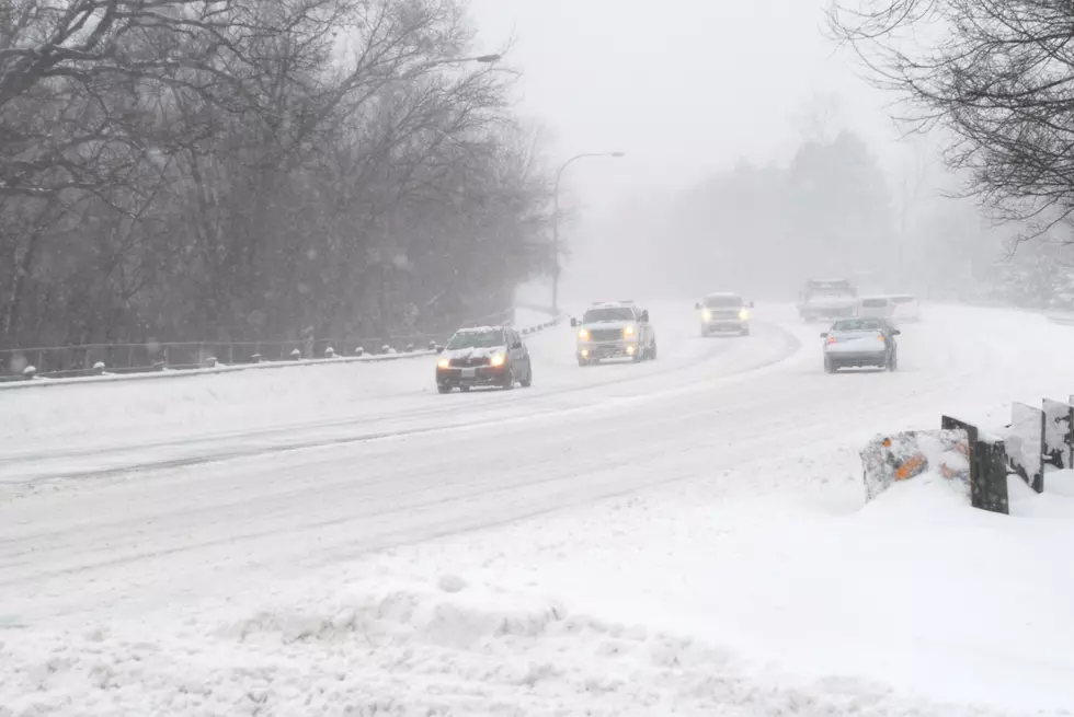
Get Ready For A Nasty Thursday and Friday: “Winter Storm Watch” Ahead For WNY
We've known for a few days that snow and mixed precipitation was likely for Western New York but now that it's Wednesday night, that likelihood will be reality.

According to WGRZ Weather, there's already a Winter Weather Advisory in place for all of Western New York. That goes until 10 a.m. Thursday for Southern Erie, Chautauqua, Cattaraugus, Wyoming and Allegany counties. It goes until 1 p.m. Thursday for Northern Erie and Genesse counties.
Then, a Winter Storm Watch will go into effect for southern Erie, Cattaraugus, Chautauqua, Allegany, Wyoming, Orleans and Genesee counties starting Thursday night and lasting through Saturday morning.
It's possible a Winter Storm Warning or Winter Weather Advisory replaces the watch at some point, according to WGRZ.
Thursday:
Just a mess, really. Snow turning into sleet for Buffalo and areas north. The southern tier could see accumulating freezing rain by Thursday morning, which would obviously cause headaches for commuting. Expect snow, sleet, freezing rain and plain rain.
Friday:
Widespread snow for everyone. By Saturday morning, Buffalo could see as much as 7 inches of snow, while areas along the Niagara shore as much as 9 inches. No more than 6 in the southern tier, mainly because of the rain/freezing rain on Thursday.
Read the full report at WGRZ.
Here are some more articles you might enjoy:
More From 106.5 WYRK


